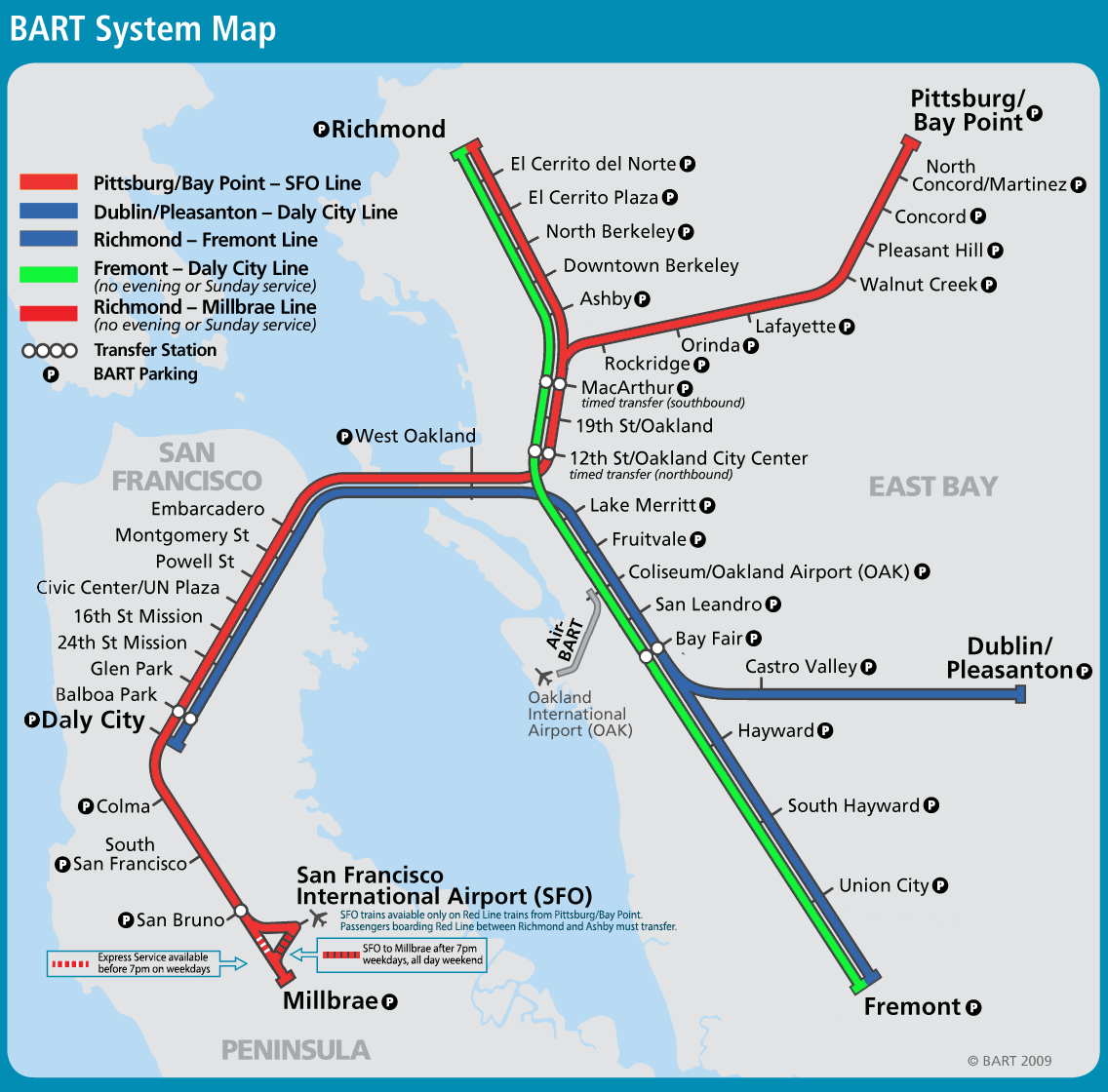
BART is a great way to get around the bay, but in my experience the system is a little hard to navigate as a newcomer. Quick and easy navigation depends on being familiar with the San Francisco suburbs/satellite cities and maps are generally not that plentiful in the system. As a result, all of the information that you get when deciding whether to board a train or not is “Pittsburg/Bay Point”. This is about as useful as telling a tourist in Seattle to take a bus towards Issaquah or Delridge. If you don’t know where those are, how would you feel comfortable getting on a bus or know that it is headed in the right direction? The same issue gap between the information you need to comfortably navigate and what a new person to the area knows is present in the bay area.

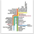
As a result, I’ve taken the BART map and tweaked it a bit. When looking at the map, I noticed that the colors on the map weren’t actually doing anything, were not used in the system as a reference (No one would say to take the “Orange Line”), and also were similar enough that someone with colorblindness would have some of the lines blending together. The reality is that the map is much simpler than presented.
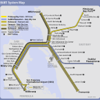
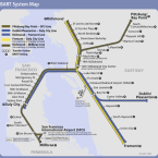
When looking around, I came across the “hyperlinear BART map“, purported to a “reductio ad absurdum” (Right), but I don’t think they took it as far as you can go. In my version we take the five lines and collapse them down to three lines. We take the colors and modify them to be colorblind friendly (red, green, and blue) and if this was actually put in place, the colors would be integrated into the real time travel information signs so people could see which line the trains belonged to.
Navigation is simplified: The green line is for the east bay. The red line is for SFO to the Northern part of the East Bay. The blue line is for the southern part of the east bay and San Francisco to Daly City. The concept is increasing levels of detail as you move through the system. When you enter, you have an intended destination. If you know exactly which line you need, great, but if you don’t you probably know about where you want to go. If you are in San Francisco, then if you need to go north it is red ad south, blue. You can step on to any train of the same color and figure out later if you need to transfer, since you always have that option for a couple stops before it splits. To contrast, if the only thing you have to navigate is the name of a place and you don’t know the area head from tail, then your risk of getting on the wrong line and the number of stops you can transfer at if you do make a mistake go down significantly.
In terms of mapping, the simplicity of the system goes up. The entire system can be represented in a 3.8Kb file. For the colors and using those colors with lines with multiple branches, I took inspiration from Stockholm’s subway. There are 10 different end points on that map, but there are only three colored lines. The system works nicely.

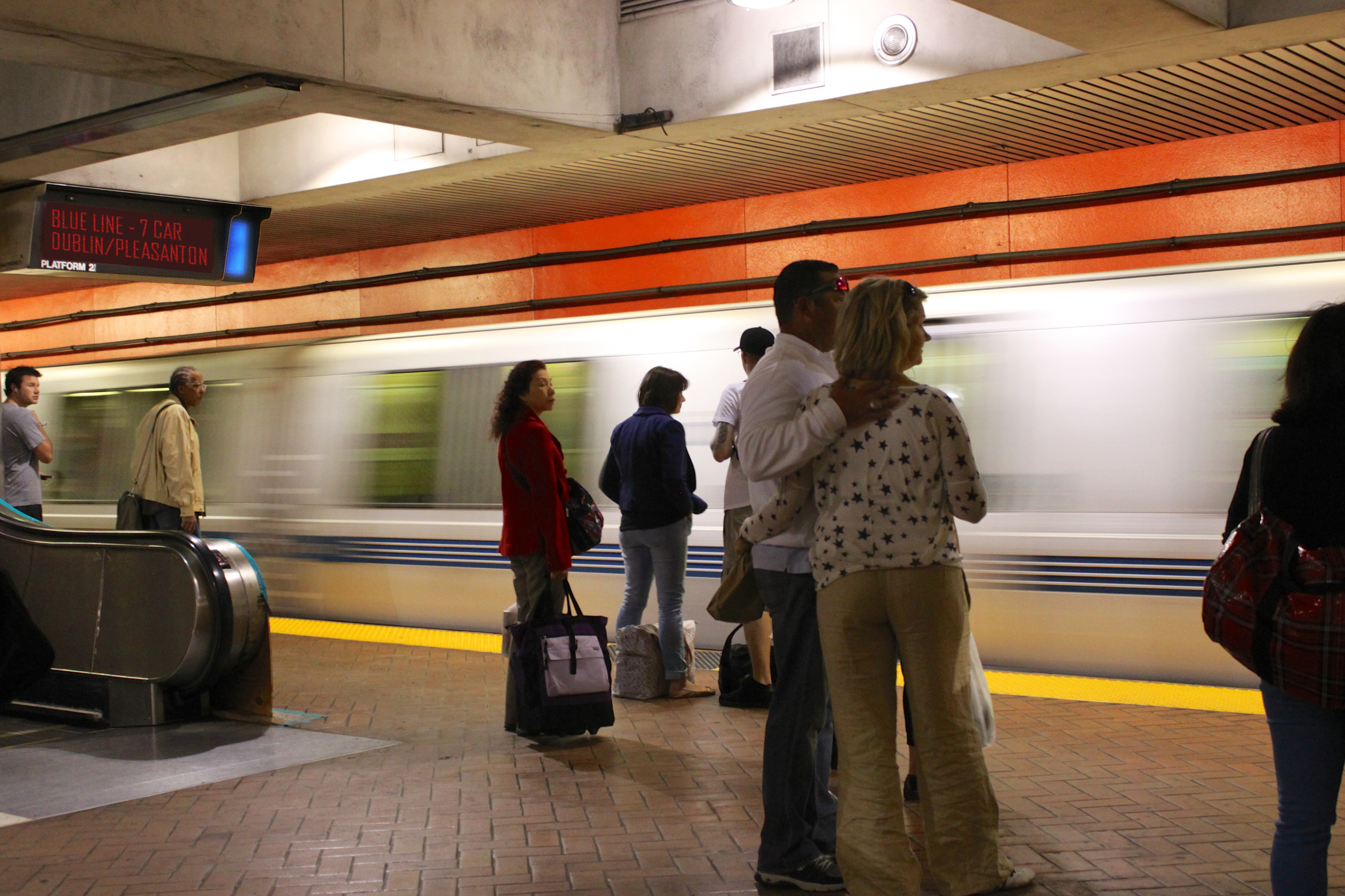
To illustrate, consider the two images below and suppose that you were unfamiliar with the city names. You should know generally where these trains are going by the light by the sign. Even if you can’t read the actual text (which can be an issue when the signs are scrolling through a couple messages before announcing the destination again), you can know if the train is the right one to get on. (Photos by Oran Viriyincy and Keith Mix, edited by myself).

Update: Thanks to where I work, I had the opportunity to see the BART operations control center in action. Unfortunately, they didn’t allow cameras in there, but it is like mission control for BART. You can see all the trains, where they are, and what is going on in the entire system. The thing that I found especially interesting is how they present the BART system for operations. The diagram, in my opinion, looks more like my ultralinear take on the system map than the rainbow standard BART map. Take a look at this photo of the OOC from BART.gov:
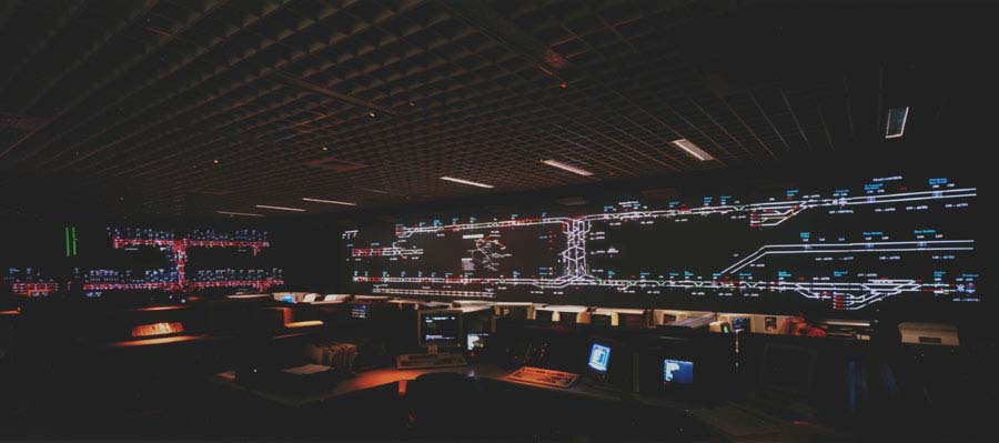
The main difference is that the transbay tube and San Francisco is not the focal point for the system. Instead, downtown Oakland is because that is where the majority of the branches converge and have to merge together. If you added colors to this, you would get something pretty close to what I created here.